A rare Earth event
Only the fourth exposed crater larger than 10 km in the Americas south of 30°N. Impact glass, coesite, reidite, and a chondritic chromium signature prove the origin.
The evidence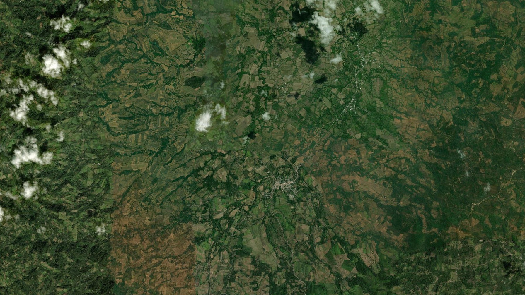
Santa María de Pantasma · Jinotega
Central America's first confirmed impact crater. A living landscape of coffee, community, and planetary science in the highlands of northern Nicaragua.
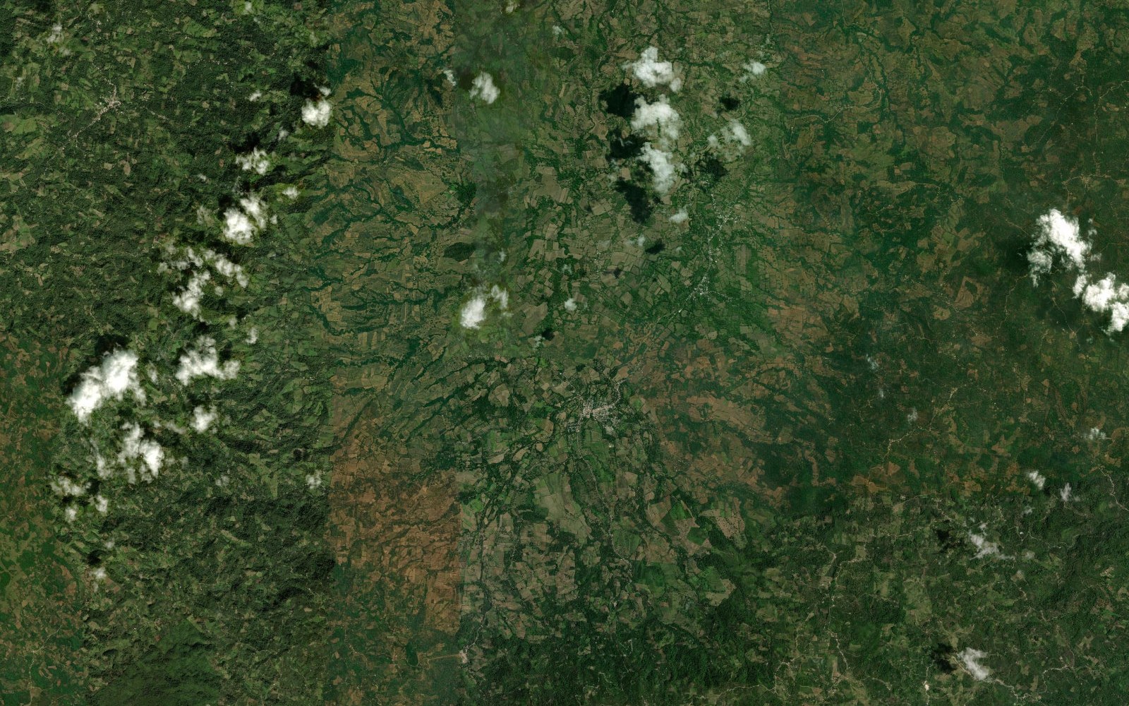
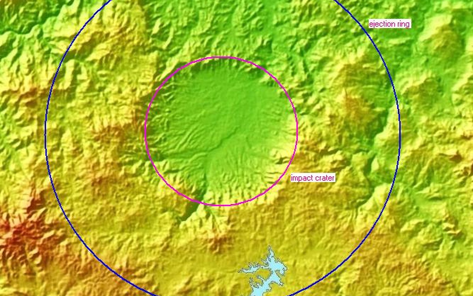
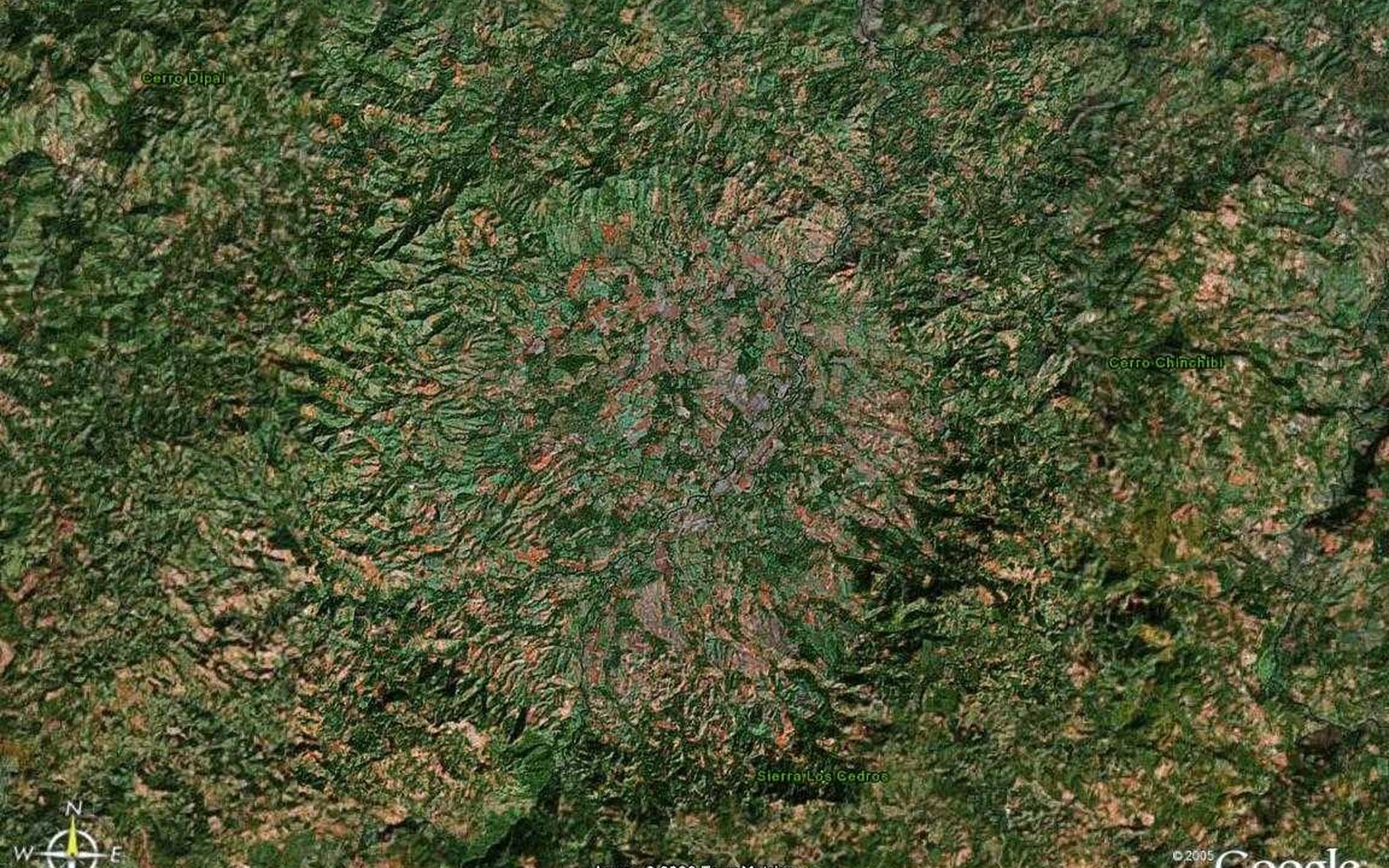
Satellite view of the 14 km Pantasma crater. Esri World Imagery.
14 km
Rim diameter
~800–815 ka
Age of the impact
1st
Confirmed crater in Central America
50,000+
People of the municipality

First spotted in 2006 by Leo Kowald on Google Earth — thirteen years before the rocks proved him right.
A German mathematician and amateur astronomer, Kowald published the impact idea on his website in April 2006 and has kept a log of the science ever since.
The landscape
Pantasma is a circular basin cut into Oligocene volcanic highlands. The floor rises from about 400 metres; the rim climbs past 1,000. Río Pantasma crosses it. Coffee, maize, fruit, and cattle occupy the same ground that an asteroid struck about 800,000–815,000 years ago. That is the point of this site: the crater is not empty wilderness. It is a geoheritage landscape people still live in.
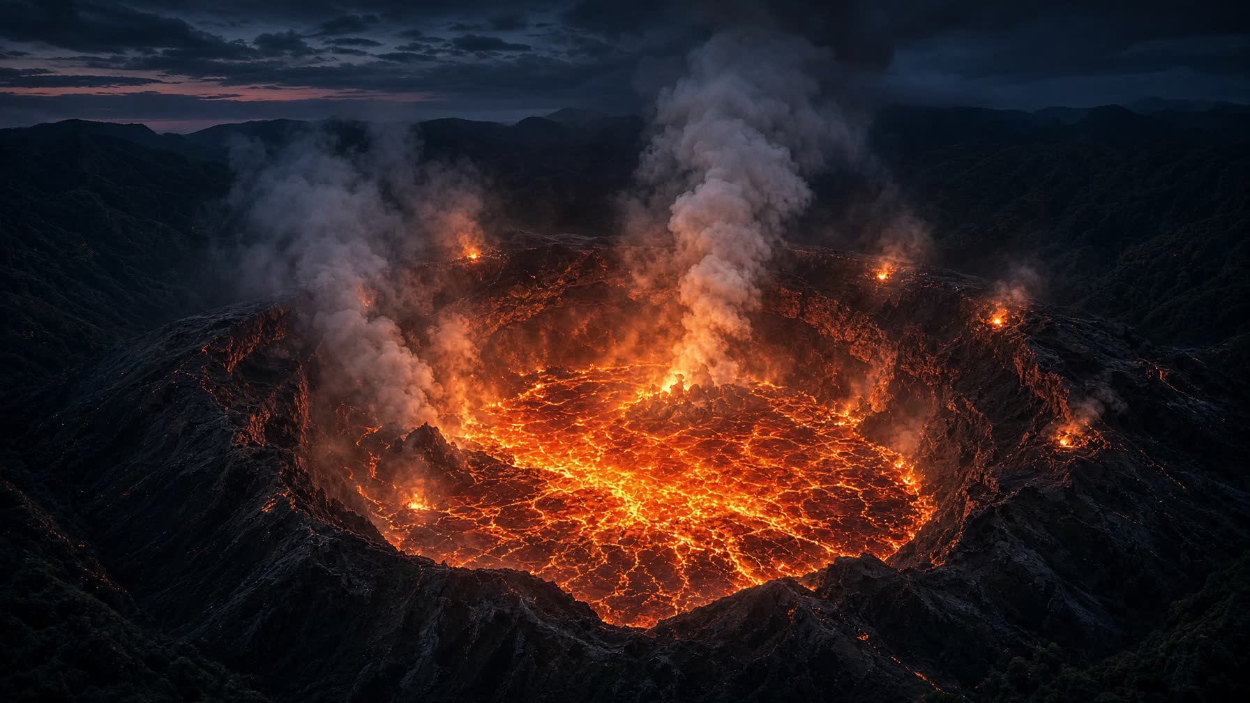
Illustration
Minutes after the strike, the Pantasma highlands would have been unrecognisable. A fireball tore through the night above the Oligocene volcanic uplands, leaving a 14-kilometre bowl floored by a sheet of glowing melt - the same rock that survives today as impact glass - while incandescent blocks of ejecta cooled on the freshly raised rim. Steam and dust would have climbed for hours over ridges that were otherwise utterly dark.
Informed reconstruction, not a photograph. Generated illustration based on the known geology of the Pantasma impact structure (~800–815 thousand years ago).
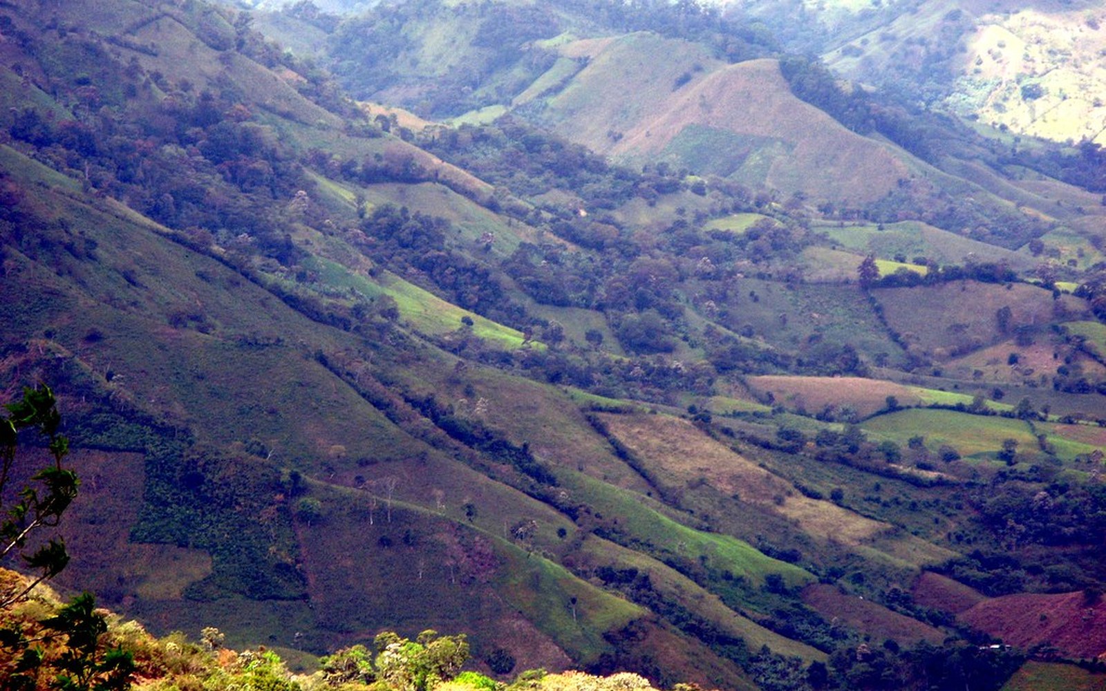
Pantasma offers outstanding opportunities for research, education, recreation, and sustainable ecotourism development. Its unique geological structure, combined with its natural beauty, provides a strong foundation for innovative exploration experiences.
Only the fourth exposed crater larger than 10 km in the Americas south of 30°N. Impact glass, coesite, reidite, and a chondritic chromium signature prove the origin.
The evidenceThe crater has international scientific value and a living culture around it. That is the UNESCO Global Geopark pattern: geology plus people, not a fenced monument.
The heritage caseRim walks, dark-sky nights, coffee on the slopes, and community stays — astrotourism and geotourism designed with Santa María de Pantasma, not around it.
How to visitFrom the proposal
Recreation
Walk the high ground. The circle is 14 km across; you will not complete it in an afternoon, but a sequence of miradores already exists in the topography. Floor at ~400 m, crests above 1,000. This is the place to understand the scale of the impact with your own legs.
Education · Research
A guided reading of glass, breccia, and the outward-dipping volcanic flows. Collecting of impactites is not a souvenir activity. The walk is for seeing, photographing, and leaving the diagnostic rocks where they are.
Astrotourism
Jinotega's highlands are still dark. A rim deck looking into the basin is one of the few places on Earth where you can stand inside a young impact crater and look at the kind of sky the asteroid came from. This is the paper's distinctive tourism argument.
Agrotourism
Jinotega is one of Nicaragua's great coffee departments. Shade-grown farms occupy the same slopes the impact raised. Cupping, harvest (Nov–Feb), and the story of a crop that grows on ejecta.
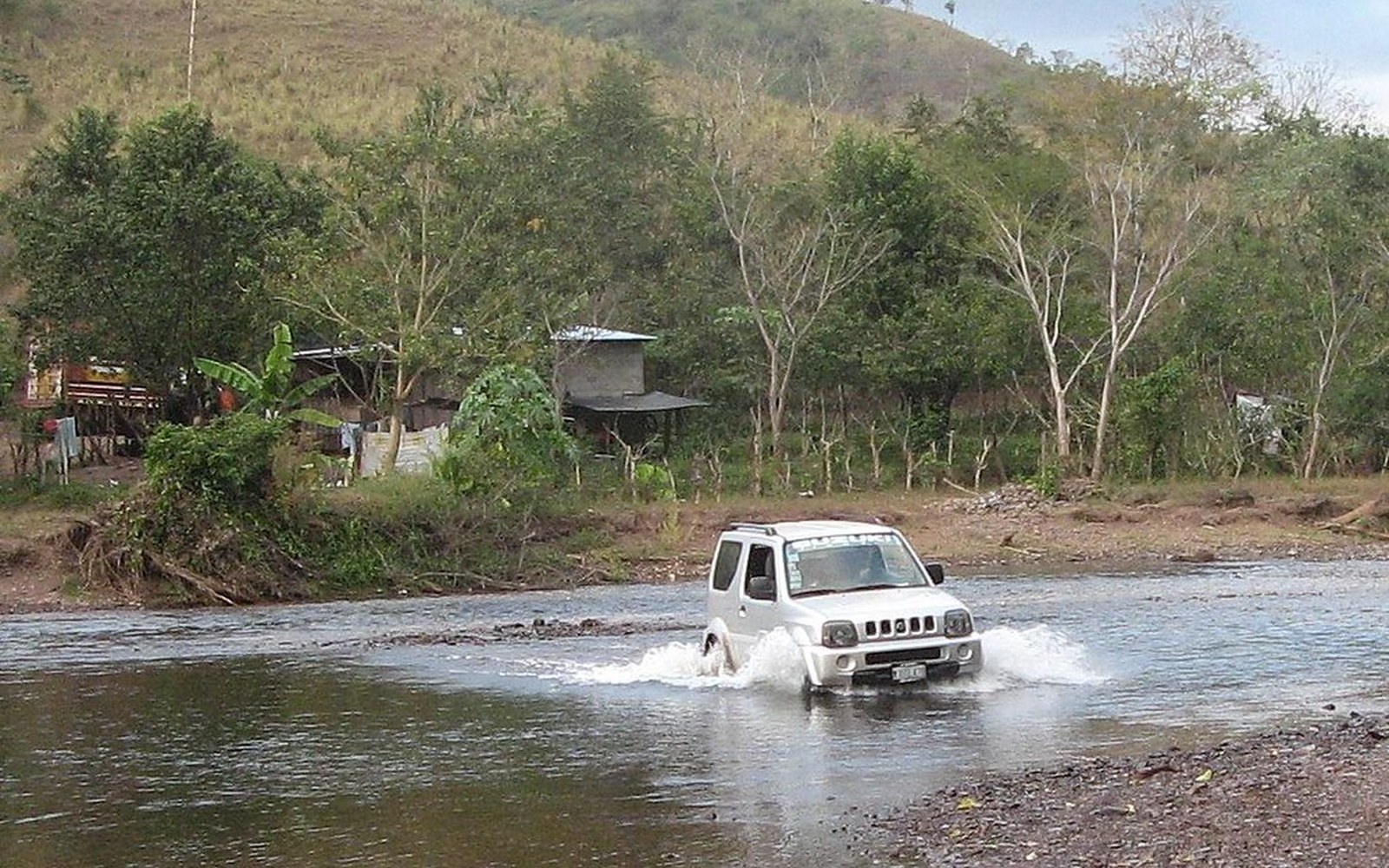
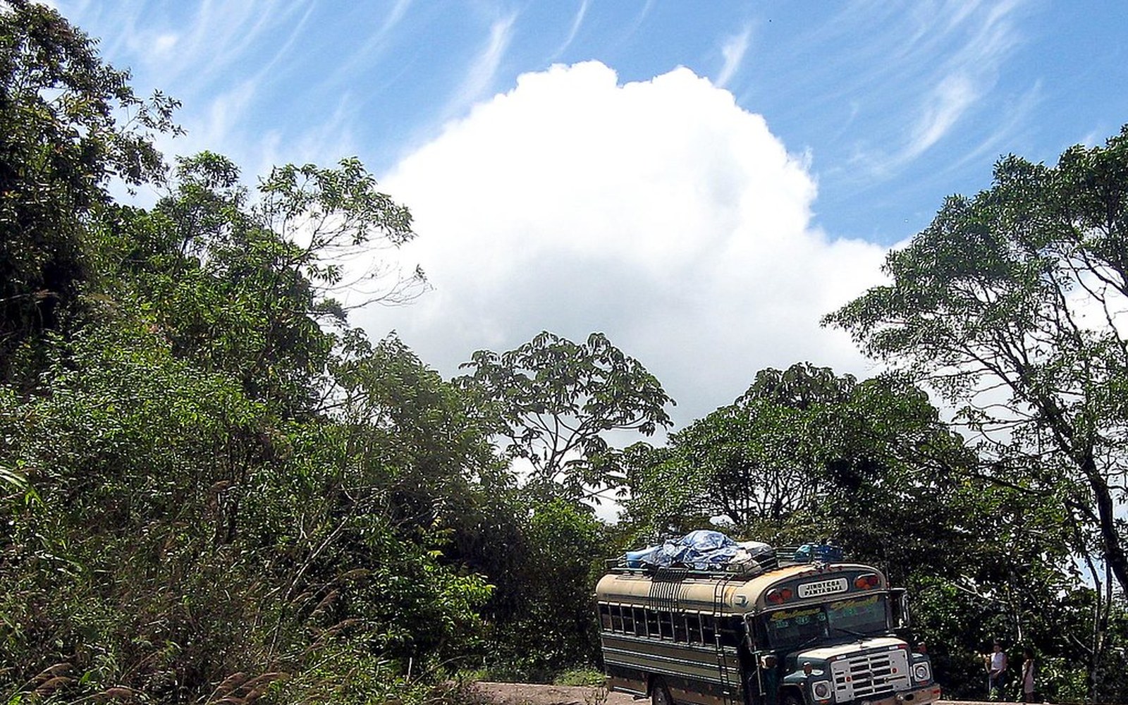
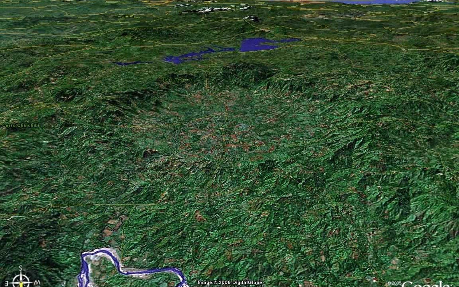
Photographs and published views of the crater and the valley. Captions name the source. These are not reconstructions.