Santa María de Pantasma
Fifty thousand neighbours inside the circle.
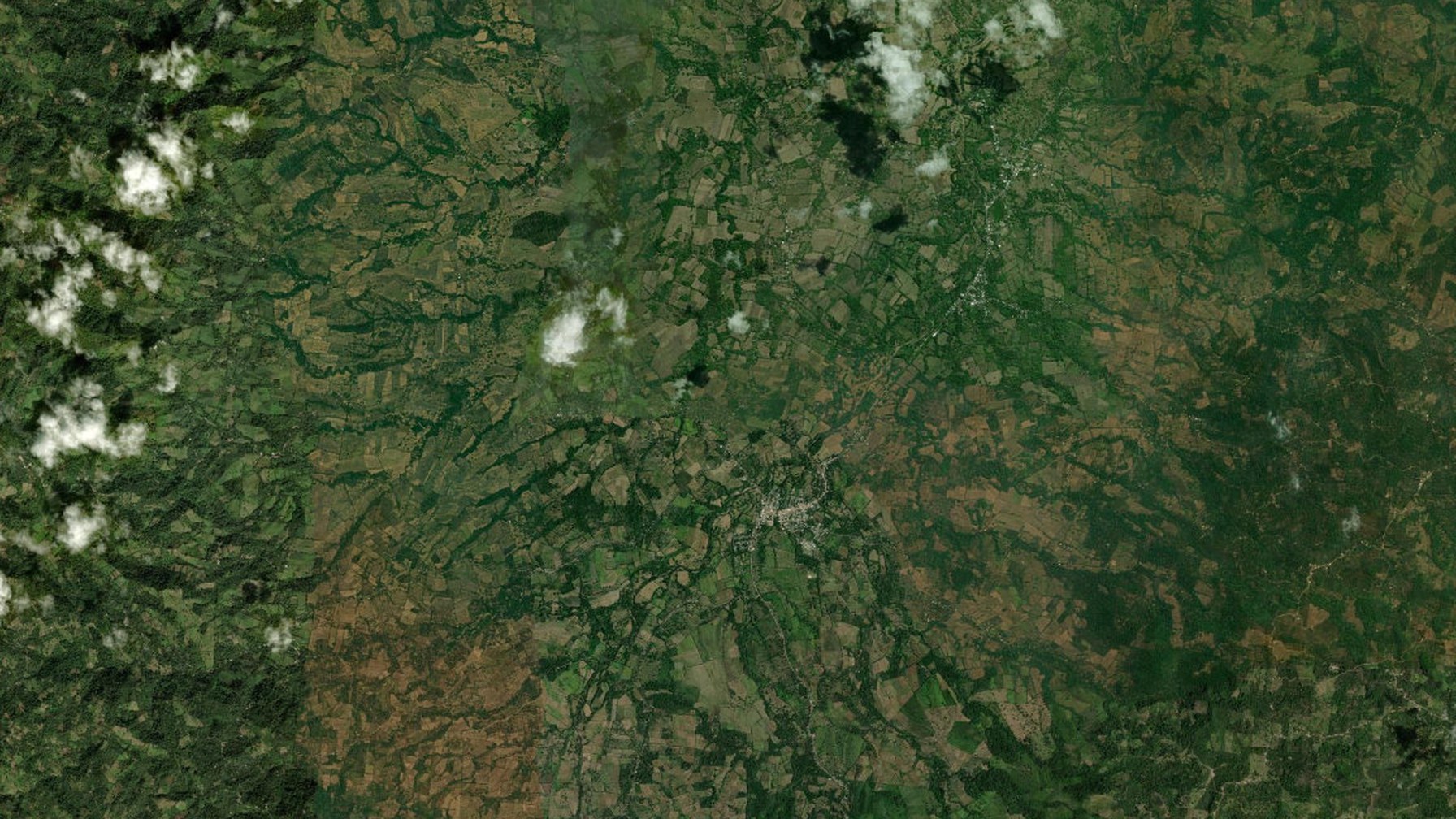
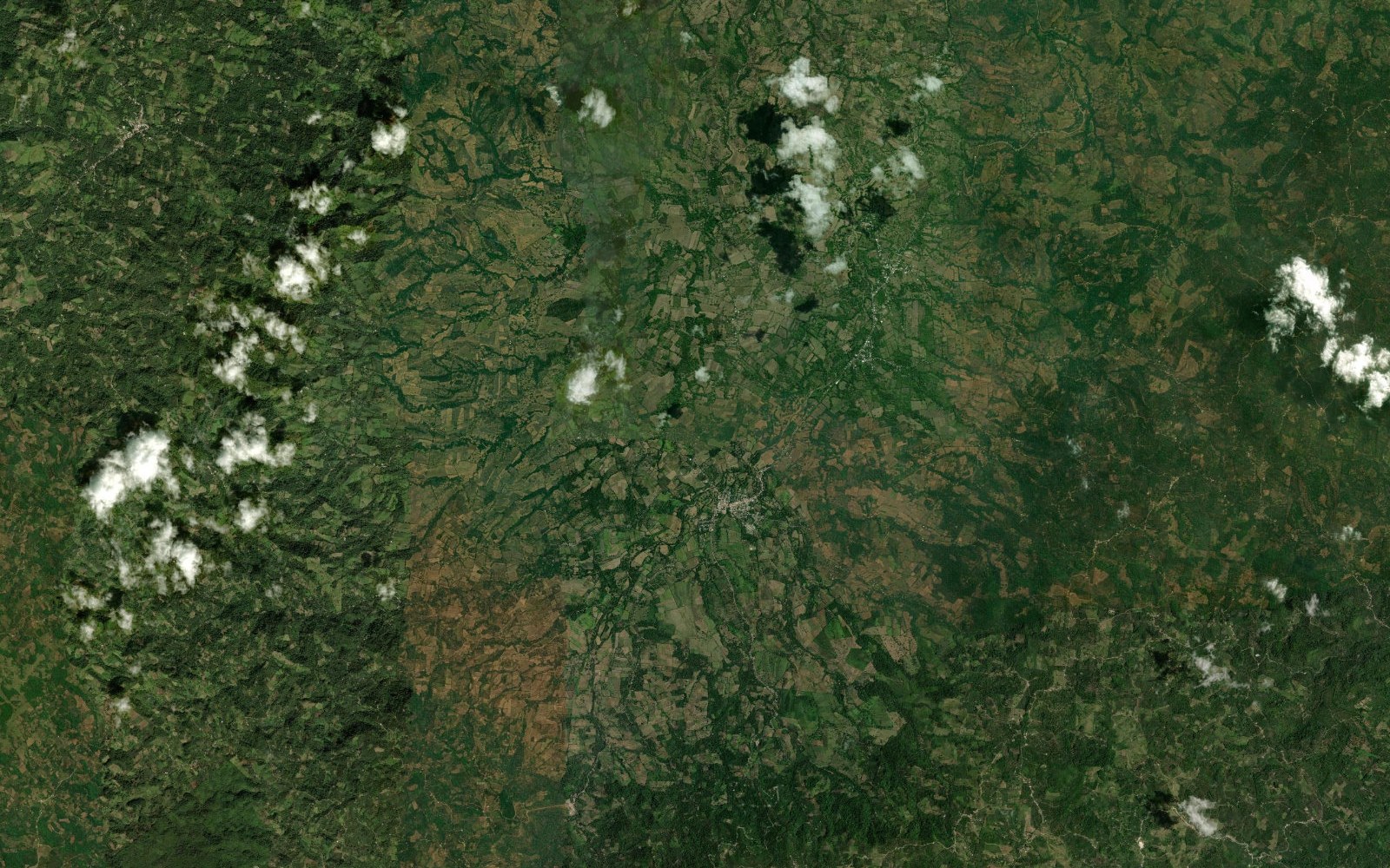
The main settlement sits on the crater floor. The municipality is agricultural, coffee-growing, and named for a word that already sounds like a story.
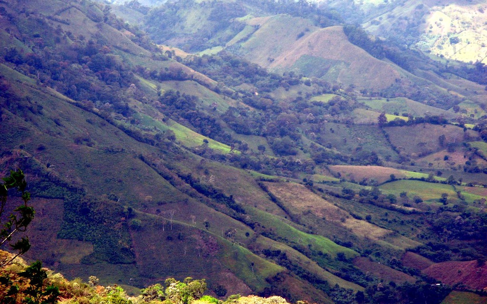
Valley landscape. svengaarn, Flickr
What Pantasma means
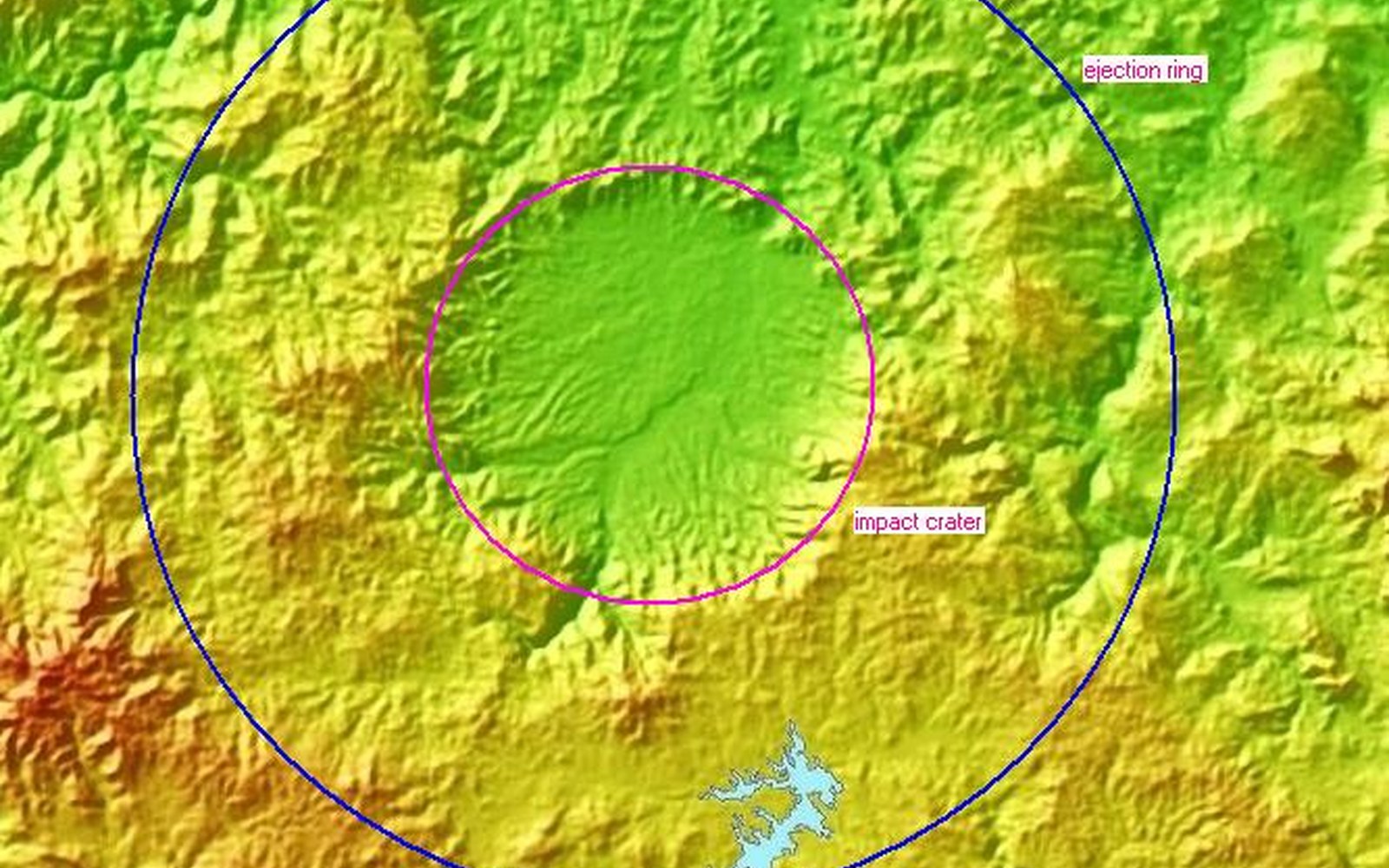
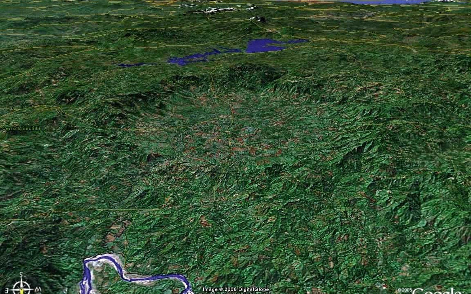
In Miskito, pantasma is heard as “small man” or “flat head.” In Spanish the ear goes to fantasma, from Greek phantasma — apparition. The circular valley looks, from a plane or a map, like something that should not be there. The name is older than the science. The science made the name exact.
Name meanings as given by Leo Kowald, Pantasma.com ↗A working landscape
Río Pantasma runs SSW to NNE across the basin and joins the Río Coco (Río Segovia). The floor is intensively farmed: maize, grain, fruit, coffee, cattle. This is not an accident of poverty on a scientific site. Fertility is the afterlife of an impact in volcanic rock, under rain. Any tourism that treats the farms as clutter has misunderstood the place.
Two Santa Marías
The municipal seat on the crater floor is the town of Pantasma, formerly called Las Praderas. Some online maps put the name “Santa María de Pantasma” on a much smaller village about 21 km to the south-east. If you are navigating to the crater, aim for the town in the middle of the circle.
Source: Leo Kowald, Pantasma.com ↗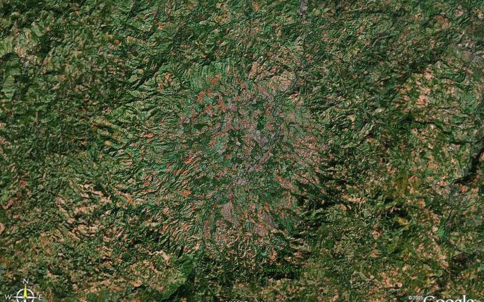
Coffee highlands
Jinotega and neighbouring Matagalpa are the spine of Nicaraguan coffee. Farms on the crater slopes sit in the same cloud-forest belt that produces the country's most regarded cups. Agro-tourism here is not a side quest. It is how most visitors will actually spend time — and how most families will actually earn from the crater's new fame.
A valley with a memory
Pantasma is also a place of 1980s war memory — a massacre, a mine, a peace walk. This site does not tour that history. It names it so visitors do not arrive pretending the valley began in 2019. Speak with people, not about them. Let local voices decide what is told.
Photos of Pantasma
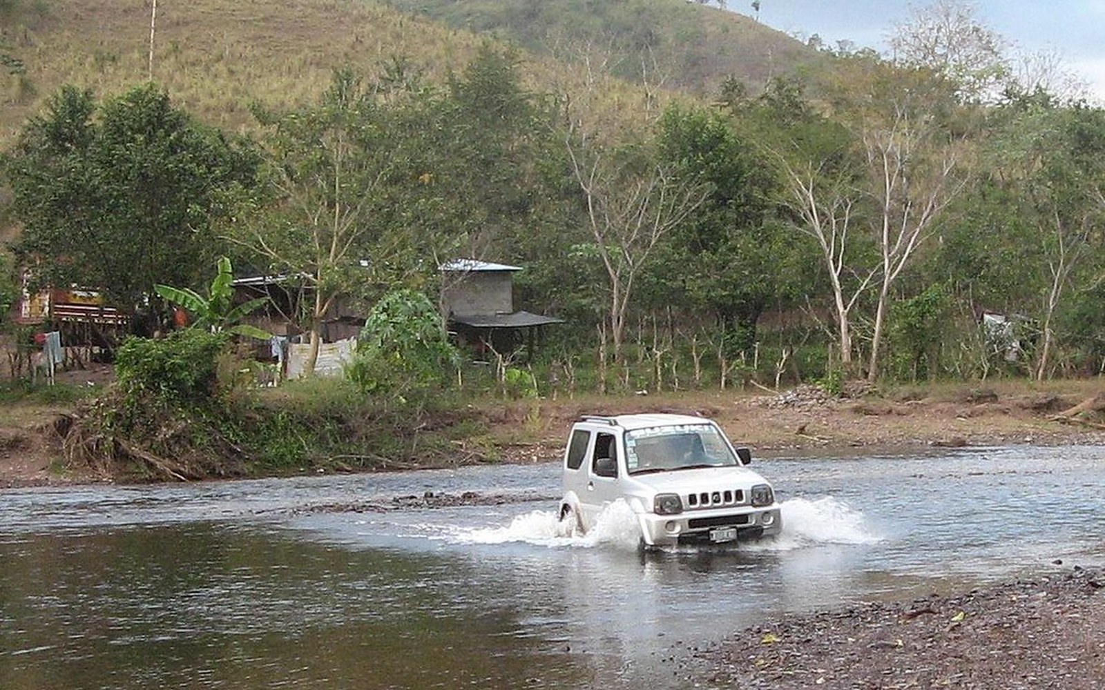
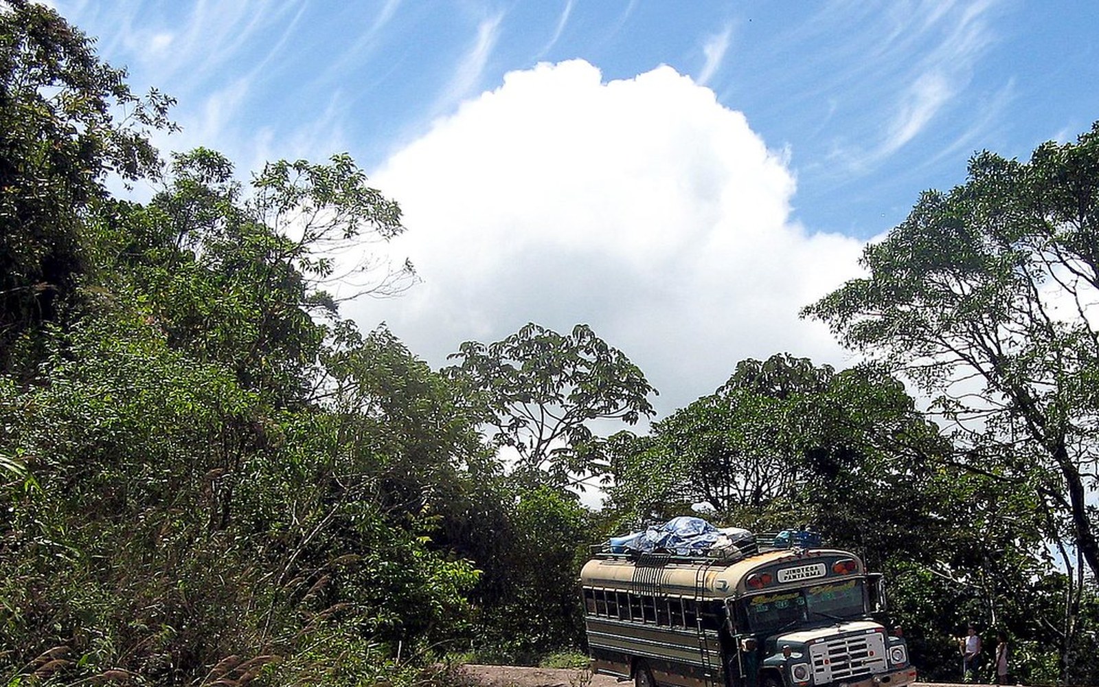
Photographs and published views of the crater and the valley. Captions name the source. These are not reconstructions.