Geotourism

Come for the crater. Stay with the valley.

The Téllez proposal names four uses of this landscape: research, education, recreation, and sustainable ecotourism — with astrotourism as a distinctive offer. These itineraries follow that outline.

Recreation · Half day to two days

Rim circuit

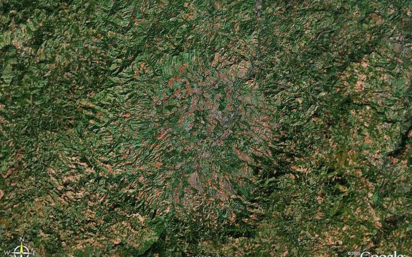
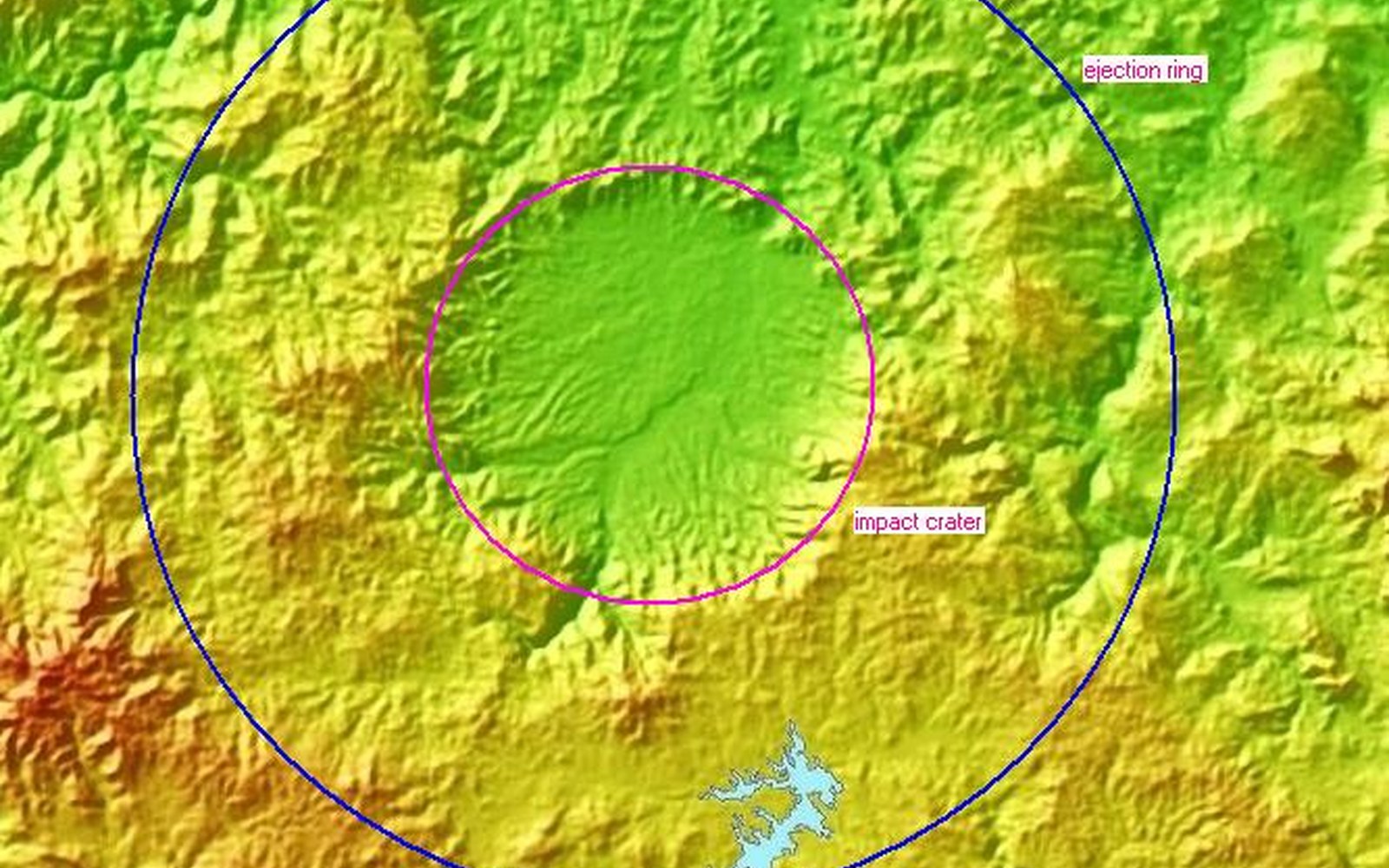
Walk the high ground. The circle is 14 km across; you will not complete it in an afternoon, but a sequence of miradores already exists in the topography. Floor at ~400 m, crests above 1,000. This is the place to understand the scale of the impact with your own legs.
Education · Research · Half day

Impact geology walk

A guided reading of glass, breccia, and the outward-dipping volcanic flows. Collecting of impactites is not a souvenir activity. The walk is for seeing, photographing, and leaving the diagnostic rocks where they are.

Astrotourism · Evening

Dark-sky nights

Jinotega's highlands are still dark. A rim deck looking into the basin is one of the few places on Earth where you can stand inside a young impact crater and look at the kind of sky the asteroid came from. This is the paper's distinctive tourism argument.

Agrotourism · Half day

Coffee on the crater

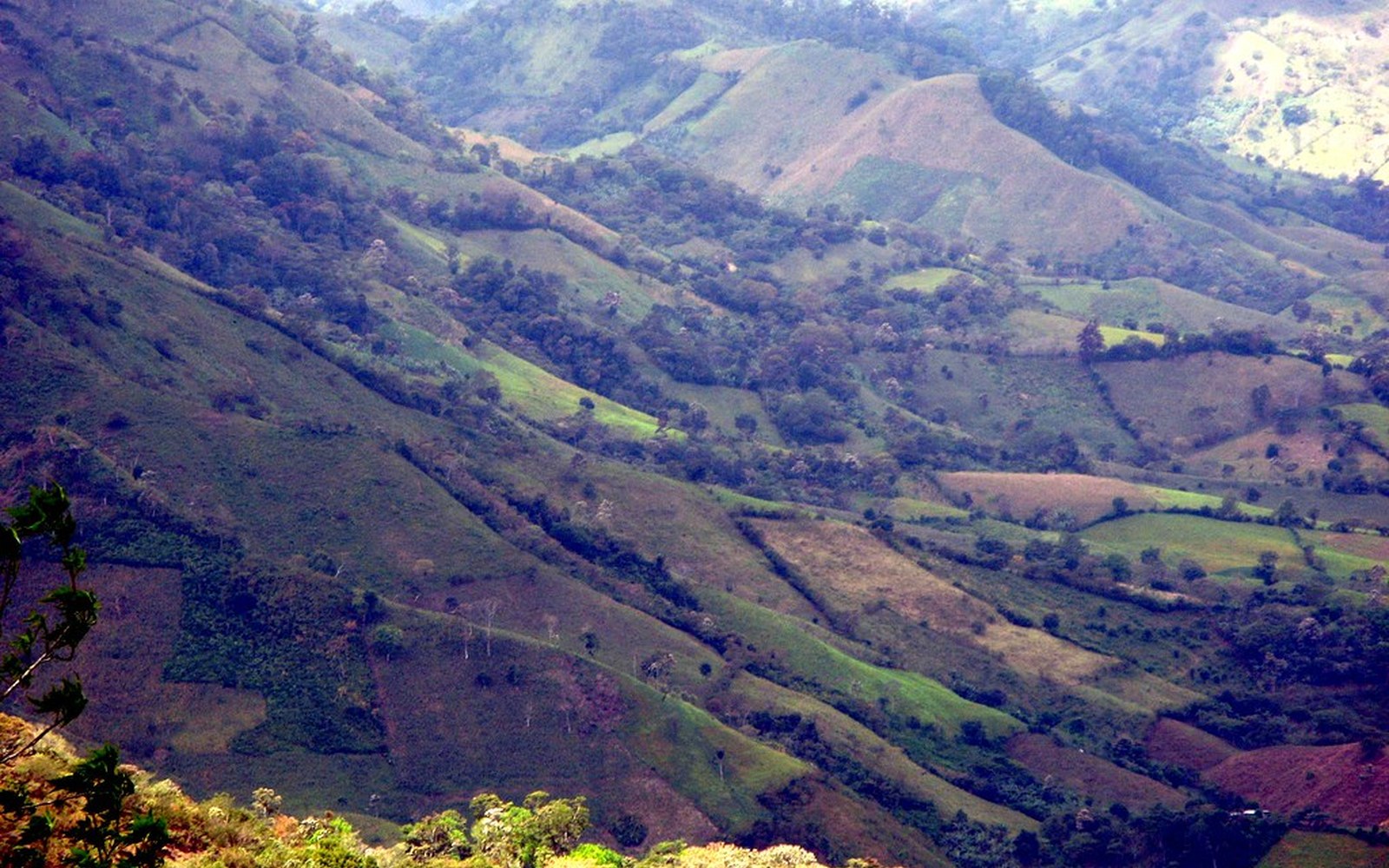
Jinotega is one of Nicaragua's great coffee departments. Shade-grown farms occupy the same slopes the impact raised. Cupping, harvest (Nov–Feb), and the story of a crop that grows on ejecta.

Community · Overnight

Valley stays

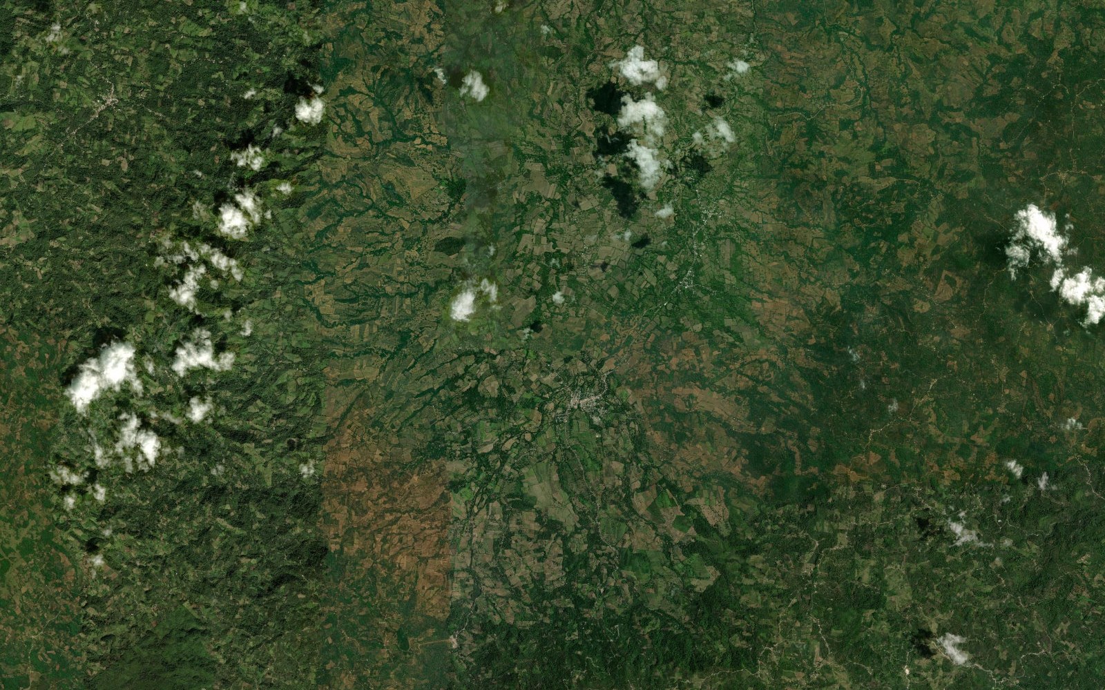
Sleep in Santa María de Pantasma, not a lodge imported onto the rim. Homestays and small pensiones keep spending in the municipality of 50,000. Hire local guides. Eat what the valley grows: maize, fruit, beef, coffee.

Research · Education · 3–10 days

Field school

Universities already have a reason to come: a dated, accessible, vegetated complex crater with a tektite field attached. A standing field school would train Nicaraguan students first, visiting researchers second.

How to get there

Fly

Managua (MGA) is the international gate. The crater is in the north, not on the Pacific volcano strip most visitors see.

Road

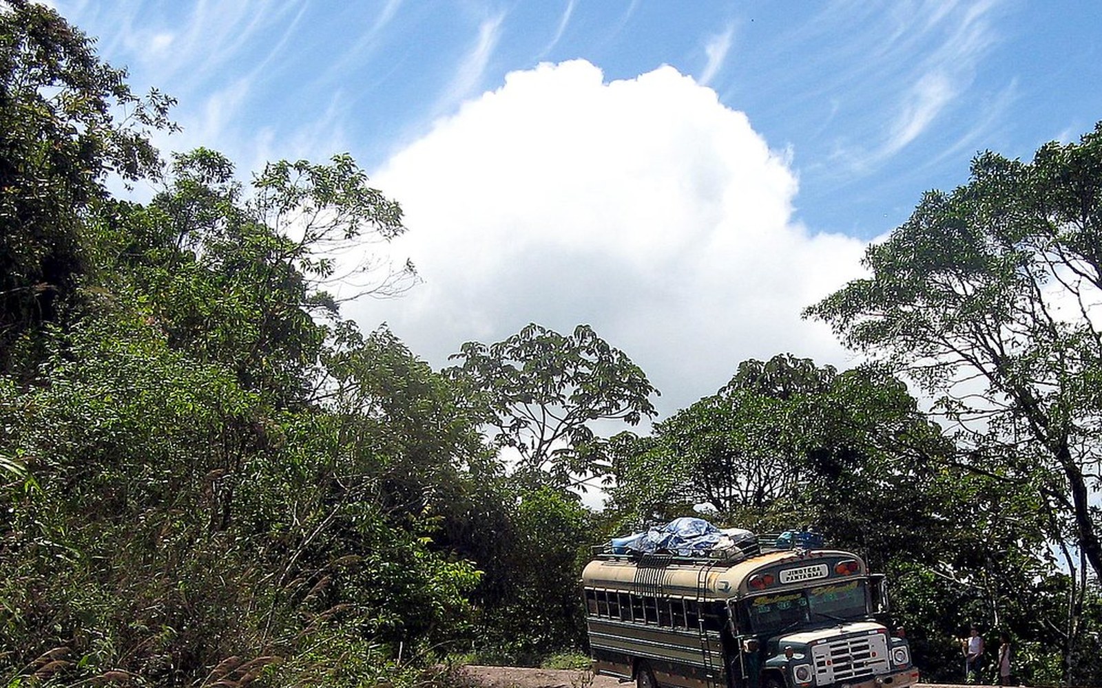
Managua → Matagalpa → Jinotega → Santa María de Pantasma. Expect a long highland day, on the order of 4–6 hours depending on season and vehicle. The last stretch is mountain road.

Guides

Do not treat this as an unsigned national park. Arrange a local guide through the municipality or a Jinotega operator. A guide is part of the heritage model, not a luxury.

When to go

The dry season (roughly December–April) is the clearer window for rim views and night skies. Coffee harvest typically runs November to February. The rainy months turn the basin intensely green and the roads slower. There is no bad scientific season.

In the highlands

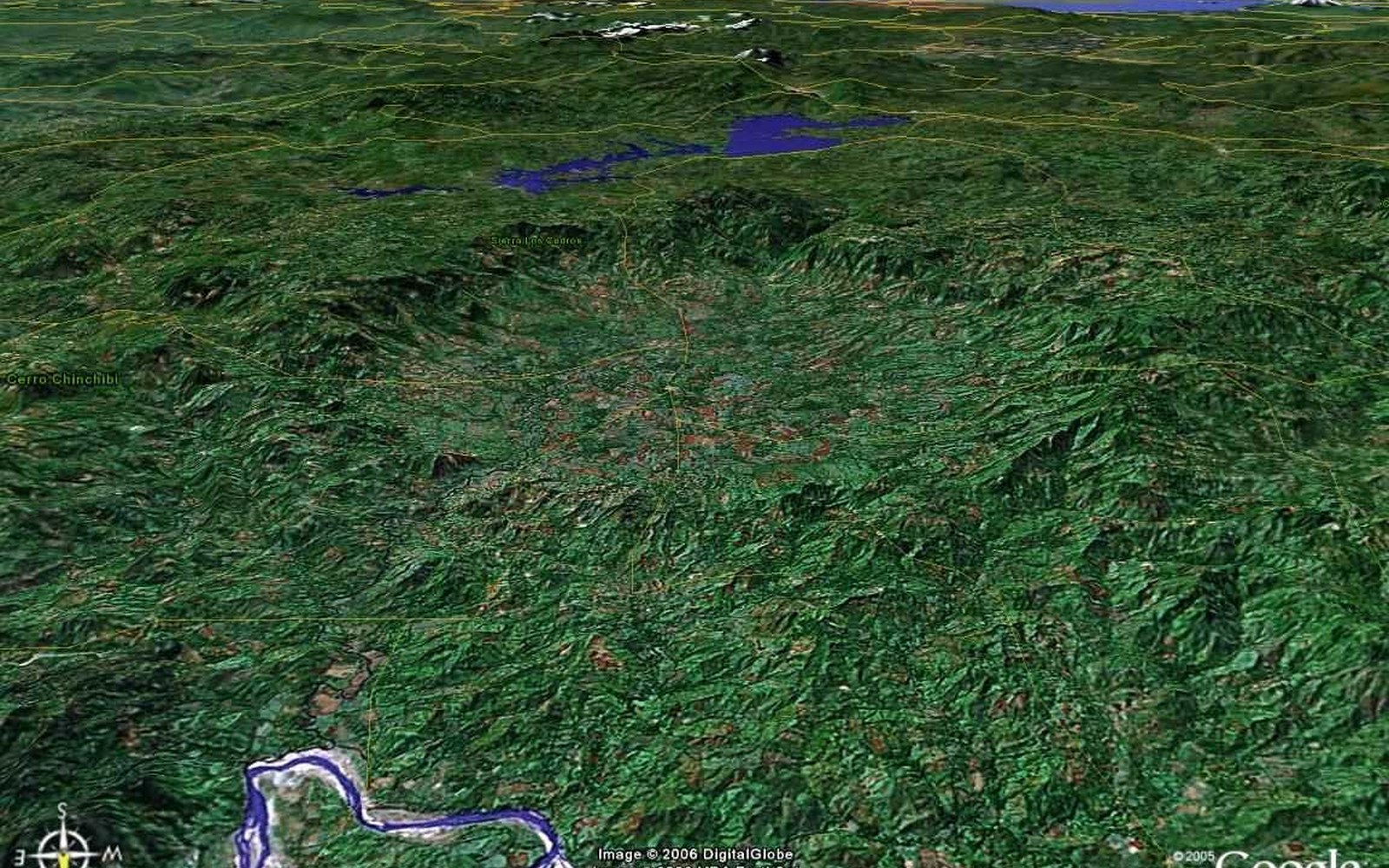
Centred at 13.36°N, 85.95°W — Department of Jinotega, ~70 km south of the Honduras border.

Visitor code

  1. 01Do not collect impact glass, tektites, or breccia.
  2. 02Stay on existing tracks on the rim — these slopes erode.
  3. 03Hire locally. Pay fairly. Ask before photographing people.
  4. 04The valley is a home, not a set. Churches, schools, and cooperatives are not exhibits.
  5. 05Night visits stay on agreed decks. No drones over houses.