Credits
Who made this story possible
People, research, photographs, data and illustrations used on craterpantasma.org.
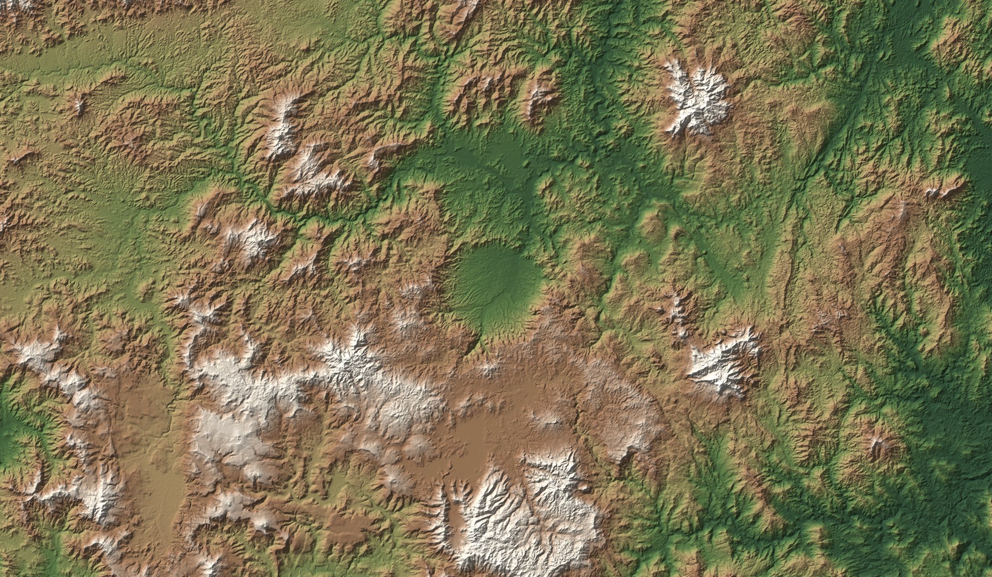
Data graphic Shaded relief from SRTM elevation data (NASA/USGS, public domain).
People and discovery

Discoverer
Leo Kowald
Dipl.-Math., amateur astronomer. First proposed in April 2006 that the Pantasma valley is a meteorite impact crater, and has documented the research since on Pantasma.com.
Our Discovery page, the 2006, 2009, 2010 and 2023 timeline entries, the “tilted floor” observation, the name meanings and the map-pin note are summarised and paraphrased from his site, with short quotations credited to him.
Science
- Rochette, P., Alaç, R., Beck, P., et al. (2019). Pantasma: Evidence for a Pleistocene circa 14 km diameter impact crater in Nicaragua. Meteoritics & Planetary Science 54, 880–898. doi:10.1111/maps.13244
- Rochette, P., et al. (2021). Impact glasses from Belize represent tektites from the Pleistocene Pantasma impact crater in Nicaragua. Communications Earth & Environment 2. nature.com
- Castro-Hidalgo, D. F., Chow-Martínez, M., Rochette, P. & Muñoz-Barboza, A. (2026). Nueva cartografía litológica de la estructura de impacto Pantasma y alrededores (Nicaragua). Revista Geológica de América Central 74. revistas.ucr.ac.cr
- Gravity modelling abstract, ADS 2025psss.confE.124F (CPESS-8, Málaga, 2025). ui.adsabs.harvard.edu
- Schmieder, M. & Kring, D. A. (2020). Earth’s impact events through geologic time. Astrobiology 20, 91–141. PMC6987741
- Kenny, G. G., et al. (2022). A Late Paleocene age for Greenland’s Hiawatha impact structure. Science Advances 8, eabm2434. doi:10.1126/sciadv.abm2434
- Téllez, R. E. Pantasma Crater, Nicaragua — ecotourism proposal for the Pantasma Crater Project.
- IPGP (2019). Asteroid impact crater — 14 km in diameter discovered in Nicaragua.
Photographs and published views
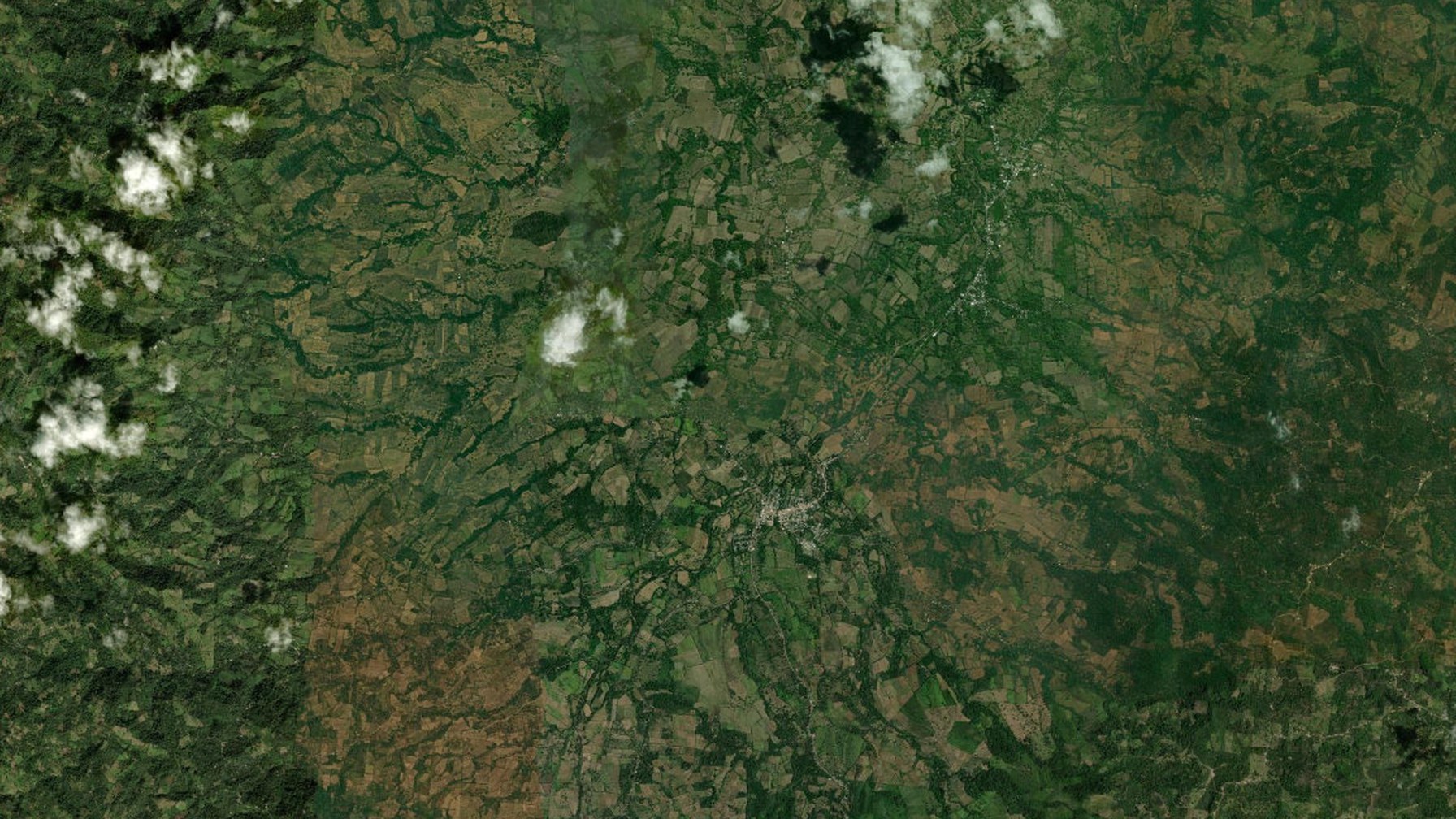
Satellite views of the crater (home hero, galleries, crater page)
Esri World Imagery — Esri, Maxar, Earthstar Geographics, and the GIS User Community.
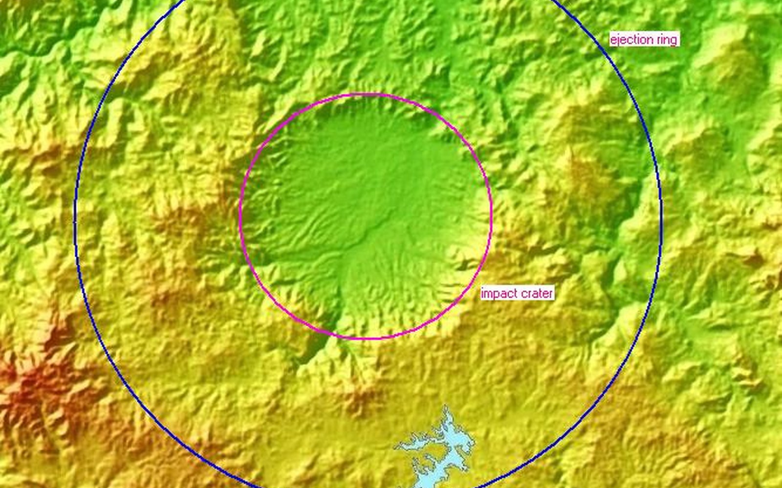
Shaded relief of the crater
Shaded relief: Dr. Wilfried Strauch, INETER (Instituto Nicaragüense de Estudios Territoriales). Shared with and first published by Leo Kowald on Pantasma.com ↗.
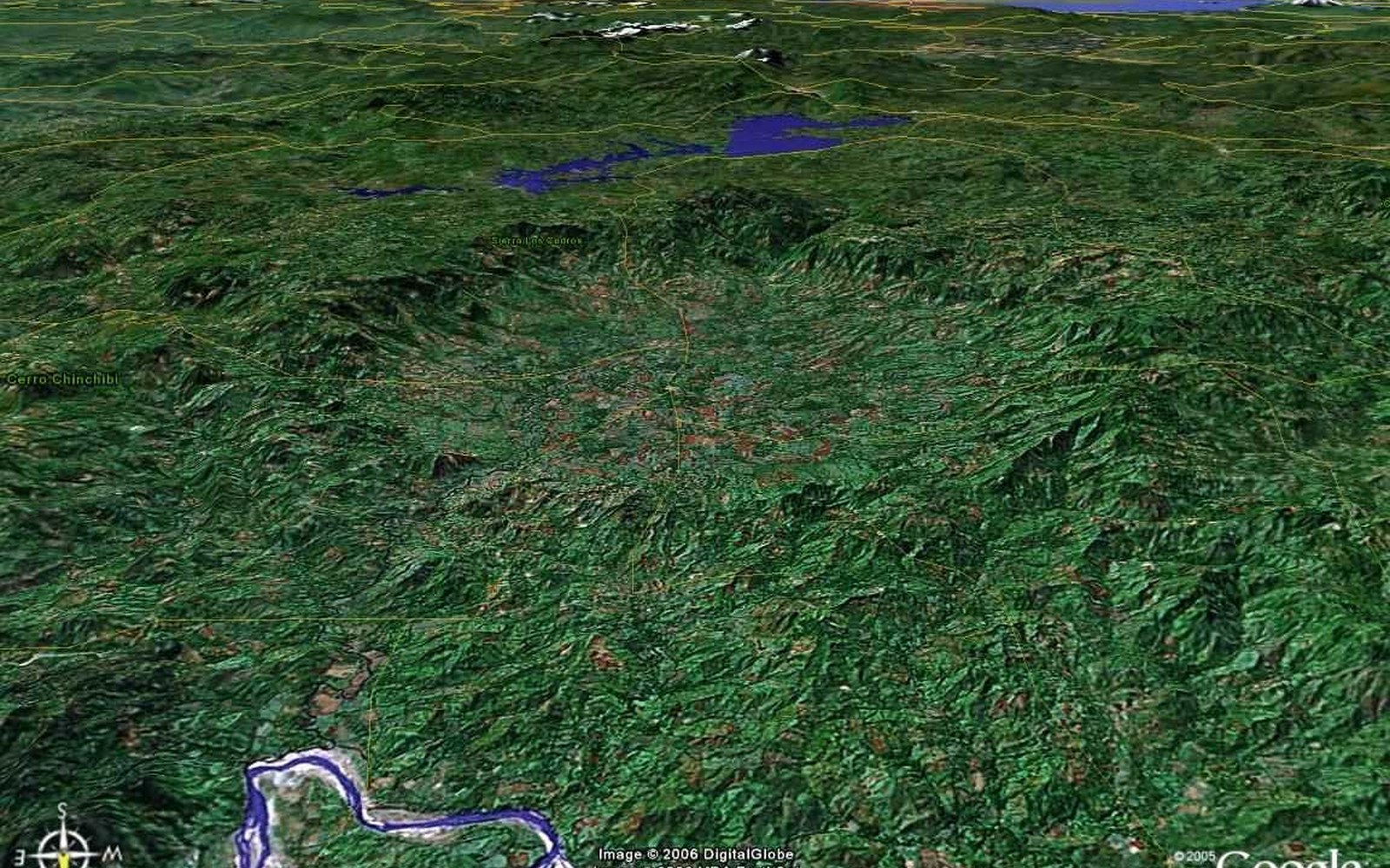
View from the north into the crater
Google Earth image. Imagery © Google and its imagery providers (DigitalGlobe, now Maxar). First published by Leo Kowald on Pantasma.com ↗.
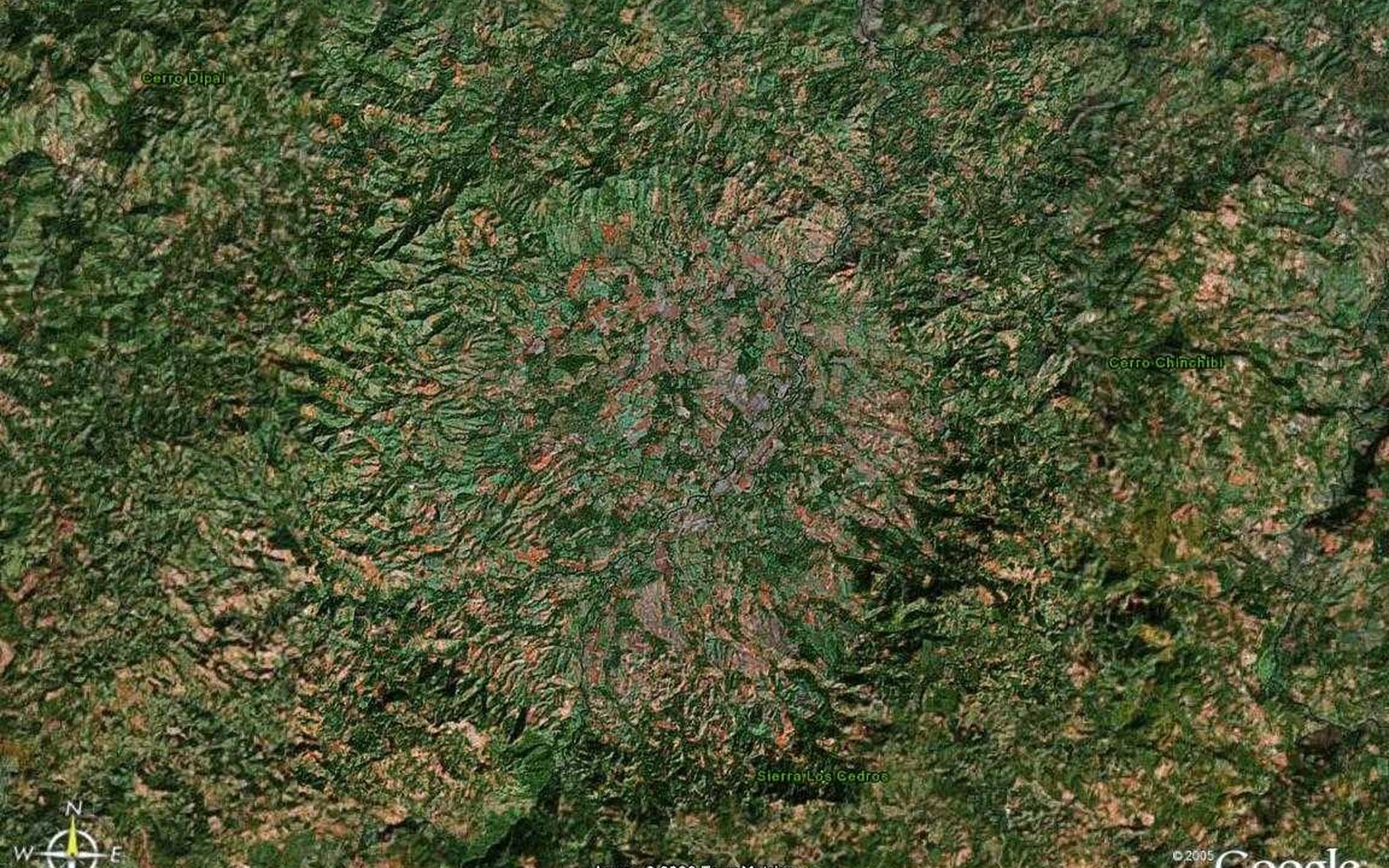
Overhead Valle de Pantasma
Google Earth image. Imagery © Google and its imagery providers (DigitalGlobe, now Maxar). First published by Leo Kowald on Pantasma.com ↗.
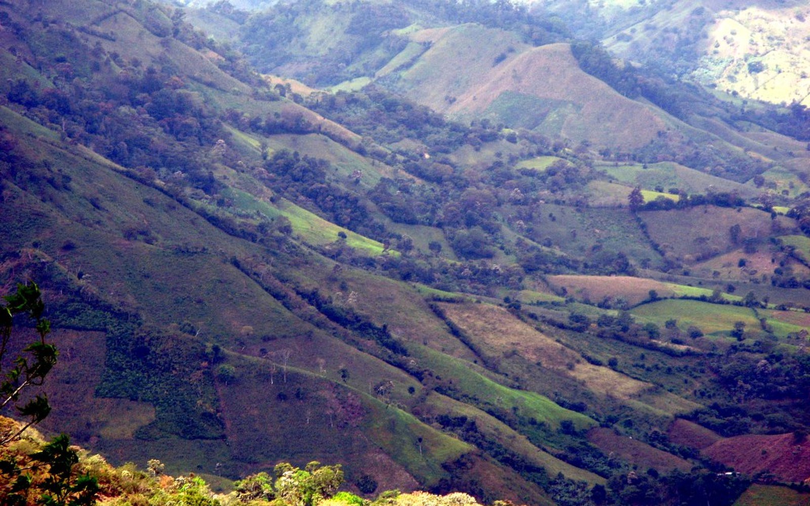
Valley landscape; Río Pantasma; road into Pantasma
svengaarn, Flickr — CC BY-NC-ND.
Our data graphics
- Data graphicShaded-relief maps, the “below 500 m” map, cross-sections and the before/after “today” profile: SRTM 1-arc-second elevation data (NASA / USGS, public domain), accessed via AWS Terrain Tiles (Mapzen). Processed by craterpantasma.org.
- Data graphicCentral America map: Natural Earth country outlines (public domain). Tektite strewn-field outline approximate, after Rochette et al. 2021.
- Data graphicCrater scale comparison: diameters from the Earth Impact Database and the sources above.
Illustrations
- Illustration“Right after the impact” (home page): AI-generated reconstruction made with Grok Imagine. Illustration, not a photograph.
- Illustration“Then and now” fresh-crater cross-section (crater page): schematic illustration by craterpantasma.org using typical proportions for a ~14 km complex crater; not measured for Pantasma.
- IllustrationLeo Kowald badge: illustration by craterpantasma.org, not a portrait.
- Illustration“Read the basin” crater diagram: schematic illustration by craterpantasma.org.
Further reading
Compiled with help from Leo Kowald’s bibliography on Pantasma.com ↗.
- Cornec, J. H., et al. (2011). The new Central American tektite strewn field. 42nd LPSC. link
- Cornec, J. H., et al. (2012). Central American tektite strewn field update. 43rd LPSC. link
- Cornec, J. H., et al. (2015). The 2014 report on the Belize tektite strewn field. 46th LPSC. link
- King, D. T. Jr., Cornec, J. H., Petruny, L. W., Zou, H. (2016). Tektites of western Belize — characteristics and possible origin. 47th LPSC. link
- Rochette, P., et al. (2016). First investigations on the Pantasma structure (Nicaragua). 79th Meteoritical Society Meeting, Berlin. link
- Cavosie, A. J., Timms, N. E., Ferrière, L., Rochette, P. (2018). Former reidite in granular neoblastic zircon from the Luizi impact structure and proposed Pantasma structure. 49th LPSC. link
- Osinski, G. R., Grieve, R. A. F., Hill, P. J. A., Newman, J. (2021). Impact Earth — a 2021 update on the terrestrial impact record. 52nd LPSC. link
- Impact Earth crater database — Pantasma. link
- Envío (Sept. 2009). “A meteorite formed Pantasma?” — ASTRONIC expedition. (original web page no longer online; listed in Kowald’s bibliography)
- La Prensa (14 Sept. 2014). “Había una vez, un meteorito”. (original web page no longer online; listed in Kowald’s bibliography)